Breaking
‘Ruby’ slightly weakens; 50 areas still under storm signal warnings
MANILA — Typhoon “Ruby” has slightly weaken Sunday but 50 areas are still under public storm warning signal (PSWS), according to Philippine Atmospheric,Geophysical Astronomical Services Administration (PAGASA).
In an interview, PAGASA weather forecaster Glaiza Escullar said the areas under Signal No. 3 (winds of 101-185 kilometers per hour expected in at least 18 hours) are the provinces of Romblon, Catanduanes, Camarines Sur, Albay, Sorsogon,and Masbate including Burias and Ticao Island in Luzon; and Northern Samar, Eastern Samar, Samar, Leyte and Biliran in Visayas.
”Residents in low lying and mountainous areas are alerted against flashfloods and landslides. Likewise, those living along the coast are warned on the occurrence of big waves associated with storm surge which may reach up to 4.5 meters,” it warned.
Areas under Storm Signal No. 2 (Winds of 61-100 kilometers per hour expected in at least 24 hours) are Camarines Norte, Southern Quezon, Marinduque, Oriental Mindoro, Occidental Mindoro Laguna and Batangas in Luzon; Northern Antique, Aklan, Semirara Grp. of Islands, Capiz, Northern Iloilo, Northern Cebu including Cebu City, Southern Leyte, Bantayan and Camotes Islands in Visayas.
” Residents in low lying and mountainous areas are alerted against possible flashfloods and landslides,” it warned.
On the other hand, Public storm warning Signal No. 1 (Winds of 30-60 kph is expected in at least 36 hours) is hoisted over Pampanga, Bulacan, Rest of Quezon, Rizal, Bataan, Cavite, Lubang Island, Calamian Group of Islands, Cuyo and Metro Manila in Luzon; Rest of Antique, Rest of Iloilo, Guimaras, Negros Occidental, Negros Oriental, Rest of Cebu and Bohol in the Visayas; and Surigao del Norte including Siargao Island and Dinagat Province in Mindanao.
”These areas will have occasional rains with occasional gusty winds,” it warned.
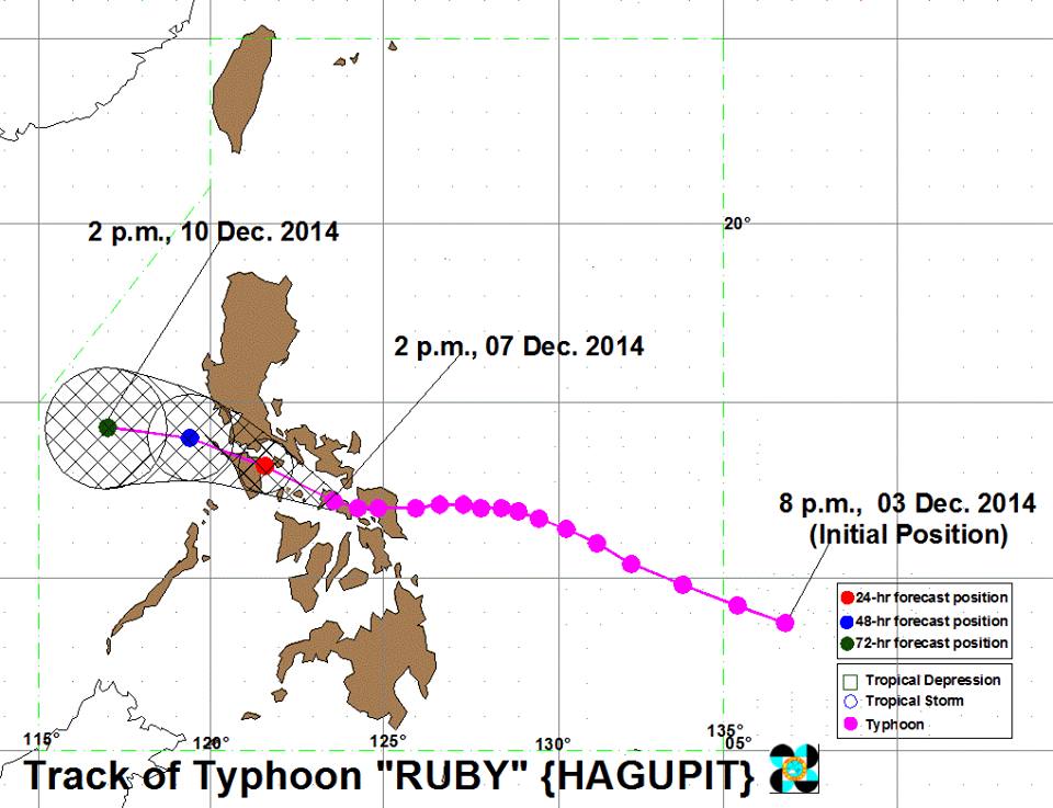
Escullar said that as of 5 a.m., the eye of the typhoon was located at 45 km Northwest of Catbalogan City, Samar (11.7°N, 124.6°E).
She said the typhoon’s maximum winds decreased from 175 kph on Saturday evening to 160 kph on Sunday morning, while its gustiness was also down from 210 kph to 195 kph.
She added the typhoon continues to move west northwest at 15 kph.
With its speed and movement, Escullar said, “Ruby” is expected to make second landfall around 10 a.m. in the vicinity of Masbate. This will be associated with strong winds, storm surge (up to 3 meters), and heavy to torrential rainfall.
The estimated rainfall amount is from 10-30 mm per hour (heavy – torrential) within the 500 km diameter of the typhoon.
Due to the effects of typhoon “Ruby” and the Northeast Monsoon, sea condition will be rough to very rough over the seaboards of Luzon and Visayas and over the northern seaboard of Mindanao.
Fisherfolks and those using small seacraft are advised not to venture out over the said seaboards.
Typhoon “Ruby” is forecast to be at 55 km Southeast of Calapan City, Oriental Mindoro by Monday morning.
By Tuesday morning, it is expected to be at 335 km West of Calapan City, Oriental Mindoro, and by Wednesday morning, it is expected to exit the Philippine Area of Responsibility (PAR) or at 570 km West of Coron, Palawan.