Breaking
‘Seniang’ out of PAR Thursday evening or Friday morning — PAGASA
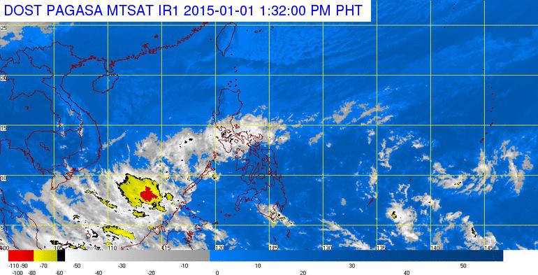
MANILA — Tropical Storm “Seniang”, which has weakened into a Low Pressure Area (LPA), was projected to exit the Philippine Area of Responsibility (PAR) either Thursday evening or Friday morning, according to the Philippine Atmospheric Geophysical and Astronomical Services Administration (PAGASA).
“We expect the LPA to exit PAR tonight or by Friday morning,” PAGASA Weather Forecaster Chris Perez told PNA Thursday.
Perez added the weather disturbance is expected to further dissipate, as it exits the country.
Moreover, the PAGASA weather forecaster noted the LPA cannot make a landfall in Palawan as earlier projected, due to its weakened strength. The province was previously under Public Storm Warning Signal No. 1 Wednesday evening and was forecast to make landfall Thursday morning.
According to its 5:00 a.m. Weather Bulletin, the LPA was estimated 210 km South Southeast of Puerto Princesa City (7.9°N, 119.2°E).
Thus, Southern Palawan will experience cloudy skies with moderate to occasionally heavy rainshowers and thunderstorms.
On the other hand, PAGASA expects the Bicol Region, the rest of MIMAROPA and the province of Quezon to have cloudy skies with light to moderate rainshowers and thunderstorms, due to the Northeast Monsoon or “Hangin Amihan” which will affect North and Central Luzon.
Metro Manila and the rest of Luzon will have partly cloudy to cloudy skies with isolated light rains.
Further, the state-run weather bureau said Visayas and Mindanao will be partly cloudy to cloudy with isolated rainshowers or thunderstorms.
Meanwhile, PAGASA issued a gale warning over the seaboards of Luzon and Visayas, which discourages fisherfolks and those with small seacrafts to head out to sea.